
1. Create address locator
An address locator lets us convert textual descriptions of locations into geographic features. We will use the Indiana Street center line to create the address locator. First, add the Road_Centerlines_Marion layer in the Lab 10 data folder and open the attribute table of it.
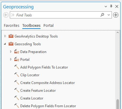
1. In the Geoprocessing pane, click the Toolboxes tab.
2. Click the Create Address Locator tool in the list of geocoding tools:
3. In the Create Locator tool, choose the United States in Country or Region. Select Road_Centerlines_Marion in the Primary Table(s), and ensure the Role is set to Street Address.
For Field Mapping, fill in the blanks with the following items:
Left House Number From: Left FROM Address
Left House Number to: Left TO Address
Right House Number from: Right FROM Address
Right House Number to: Right TO Address
Left Parity: Parity Left
Right Parity: Parity Right
Street Name: GEOFULLADDRESS
Left City: GEOCITYLEFT
Right City: GEOCITYRIGHT
Left County: County Left
Right County: County Right
Left State: State Left
Right State: State Right
Left ZIP: Postal Code Left
Right ZIP: Postal Code Right
4. Type Marion in the Output Address Locator and choose English in the Language Code. Click Run